
Hike: Alderfer/Three Sisters Park Loop


The Alderfer/Three Sisters Park Loop is a popular pieced-together route consisting of 3 different trails that cover 6.9 total miles of unique landscape throughout the entire park.
The Park:
The Alderfer/Three Sisters Park is a 1,127 acre open space in Jefferson County containing 15.3 miles of trails for hiking, mountain biking, and horseback riding. Most of the trails in the park are rated as easy or moderate with only a small section of a difficult trail. One of the most appealing features of the park is the abundance of connecting trails allowing you to map out your own hike at virtually whatever distance and difficulty you desire.
The Hike:
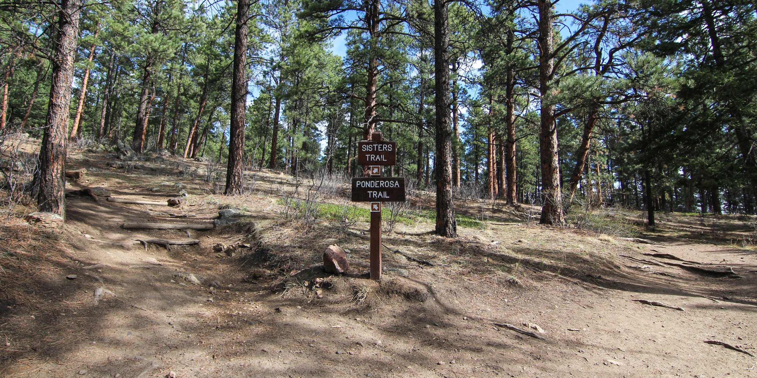
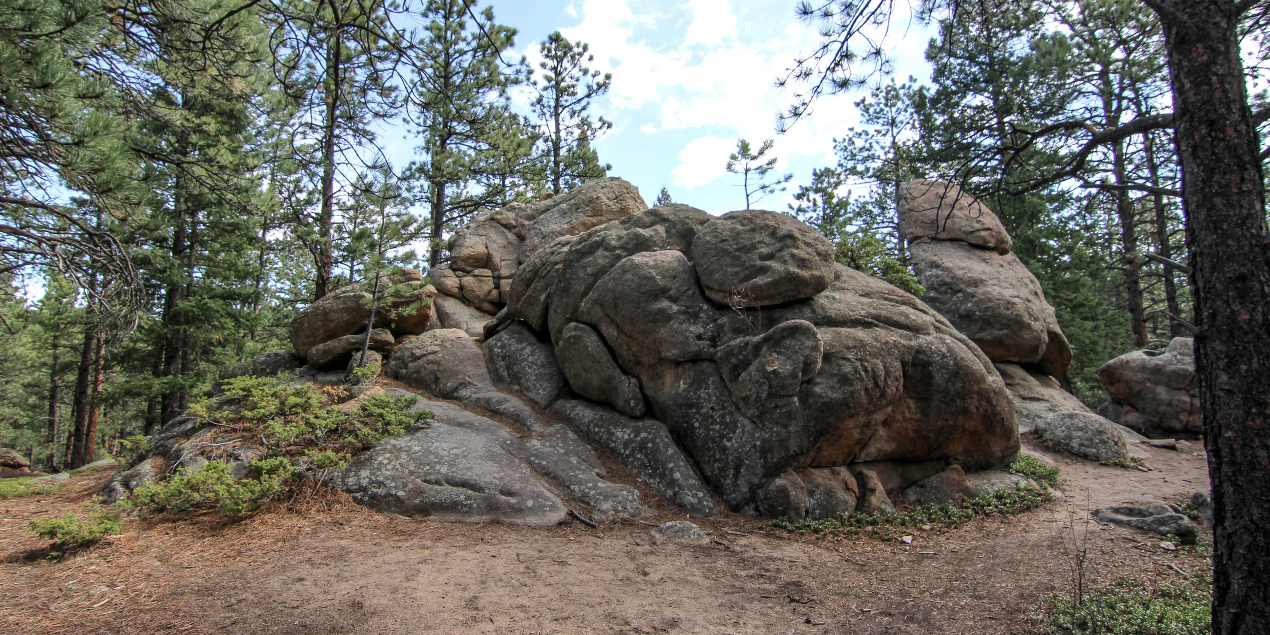
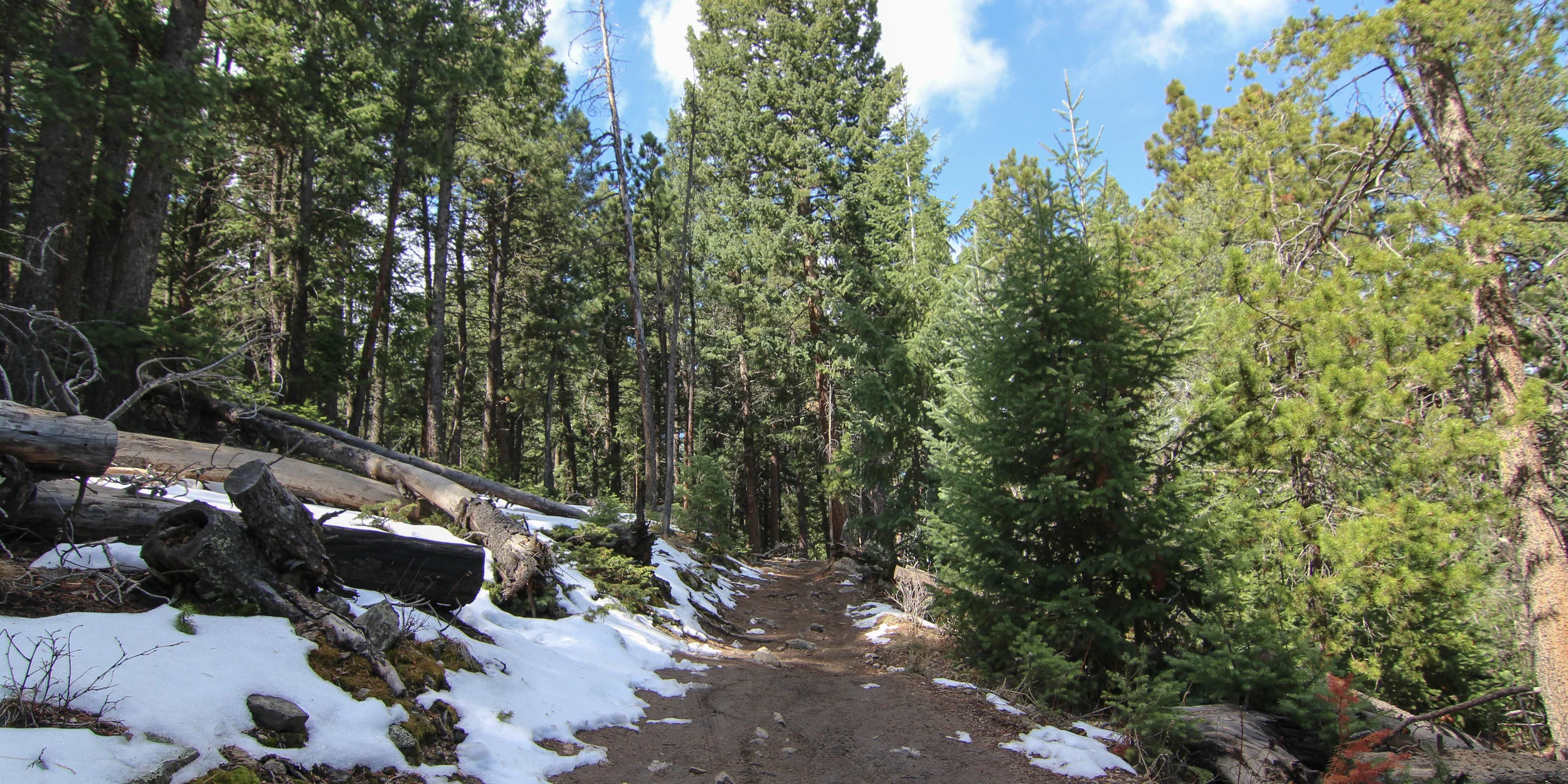
One of the more popular loops in the park starts is 6.9 miles starting from the east parking lot and follows the Sisters Trail up through this difficult rated section through larger boulders and switchbacks. After you muscle up that initial ascent, the trails are moderate or easier the rest of the way.
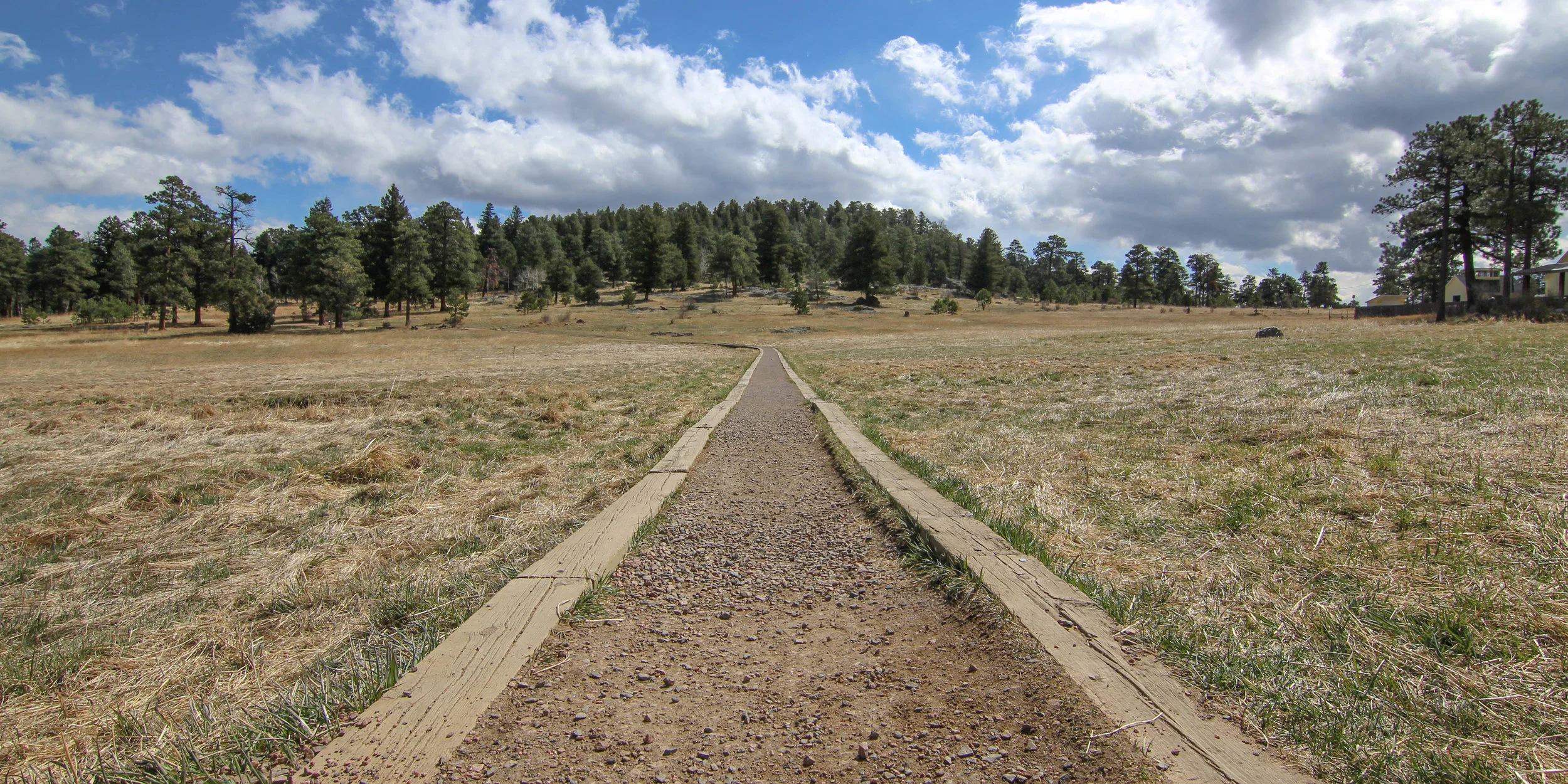
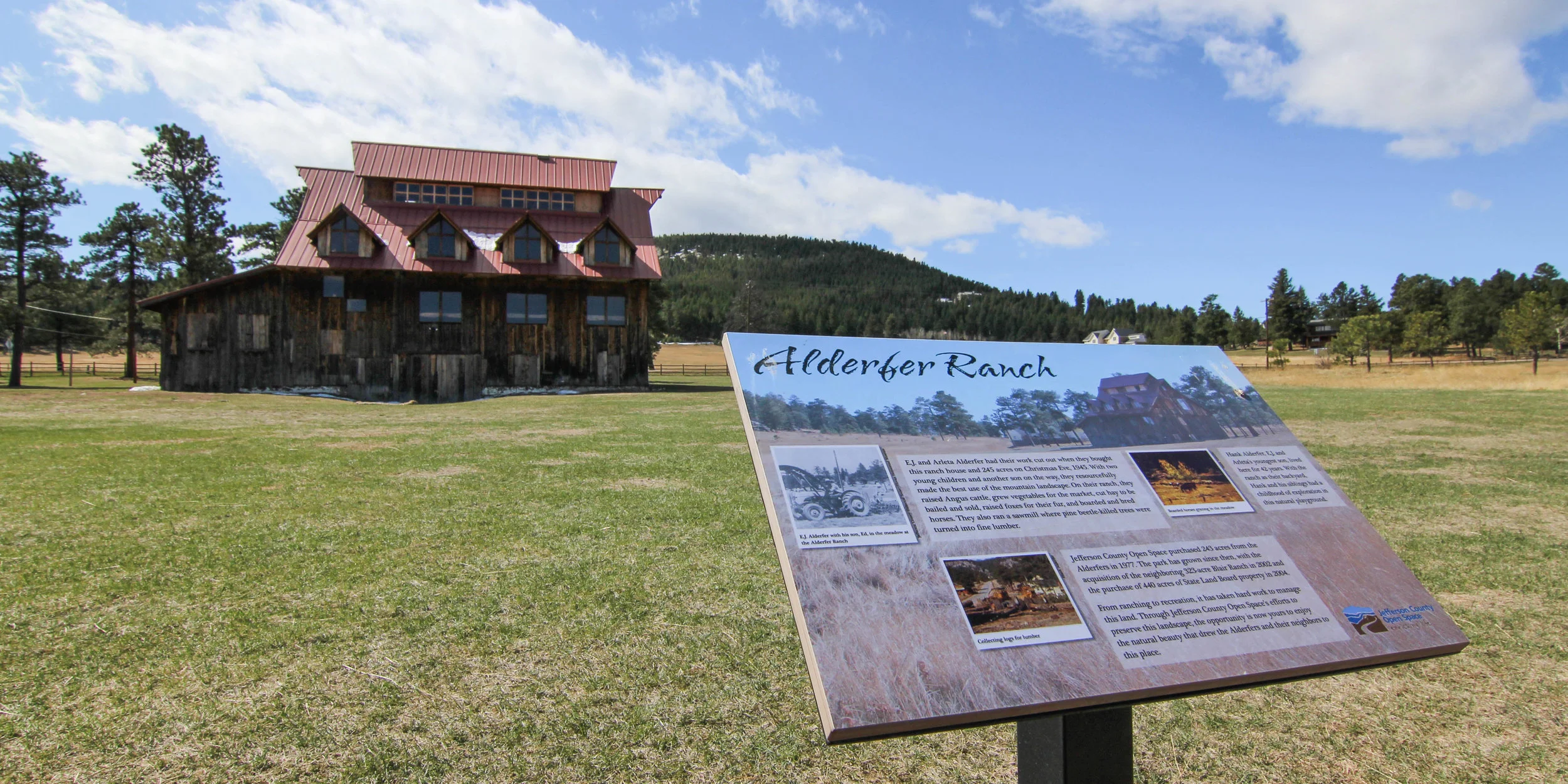
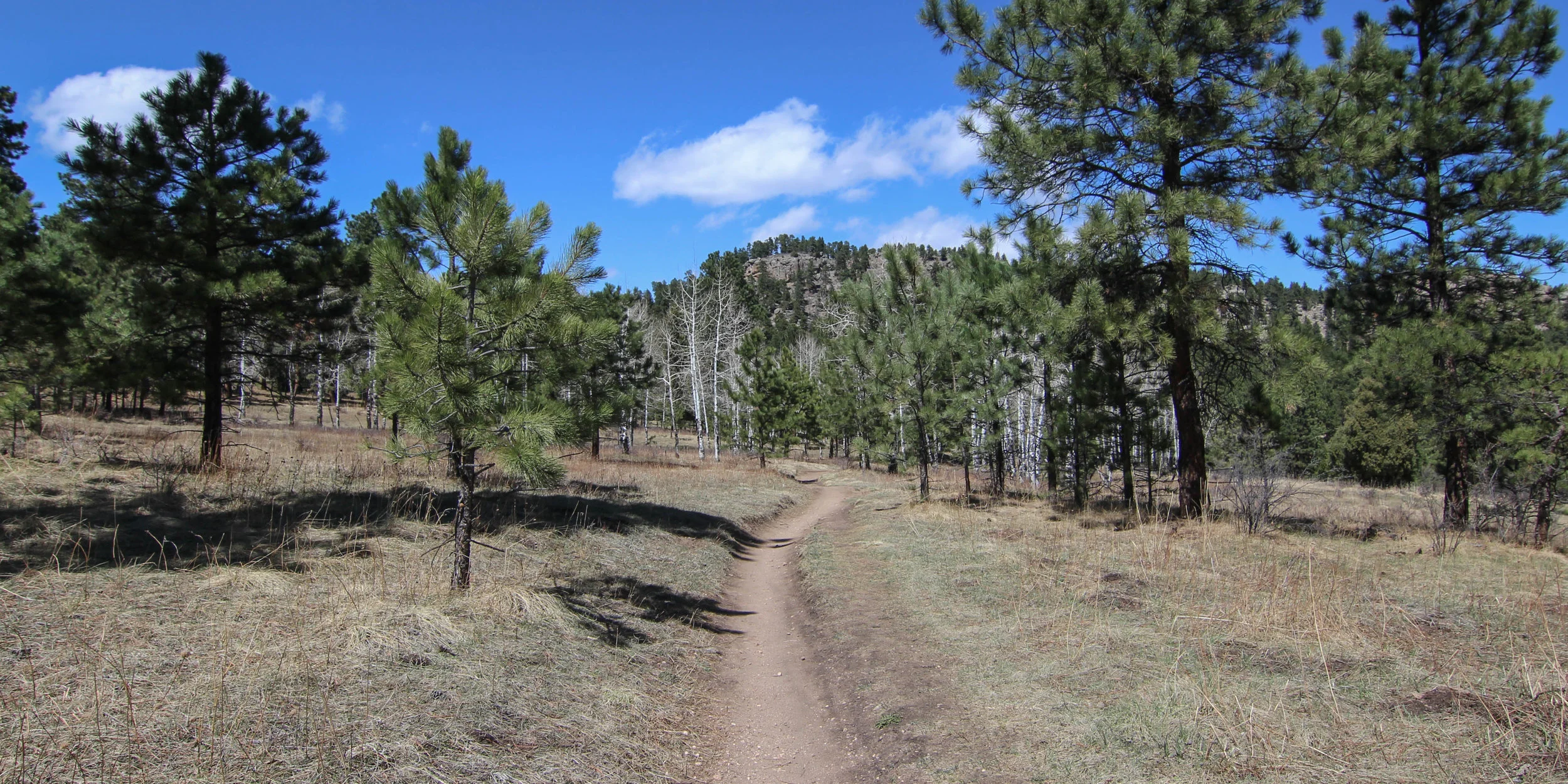
The loops follows the Sisters Trail under it dead ends into the Ponderosa Trail. After a short time, you’ll veer right onto the Silver Fox Trail bringing you a walkway through a wide open meadow that intersects with the historic Alderfer Ranch. Take a break here to learn about the Alderfer family and the park’s history or do so at the nearby picnic area and parking lot restrooms before continuing across the street to the Wild Iris Loop.
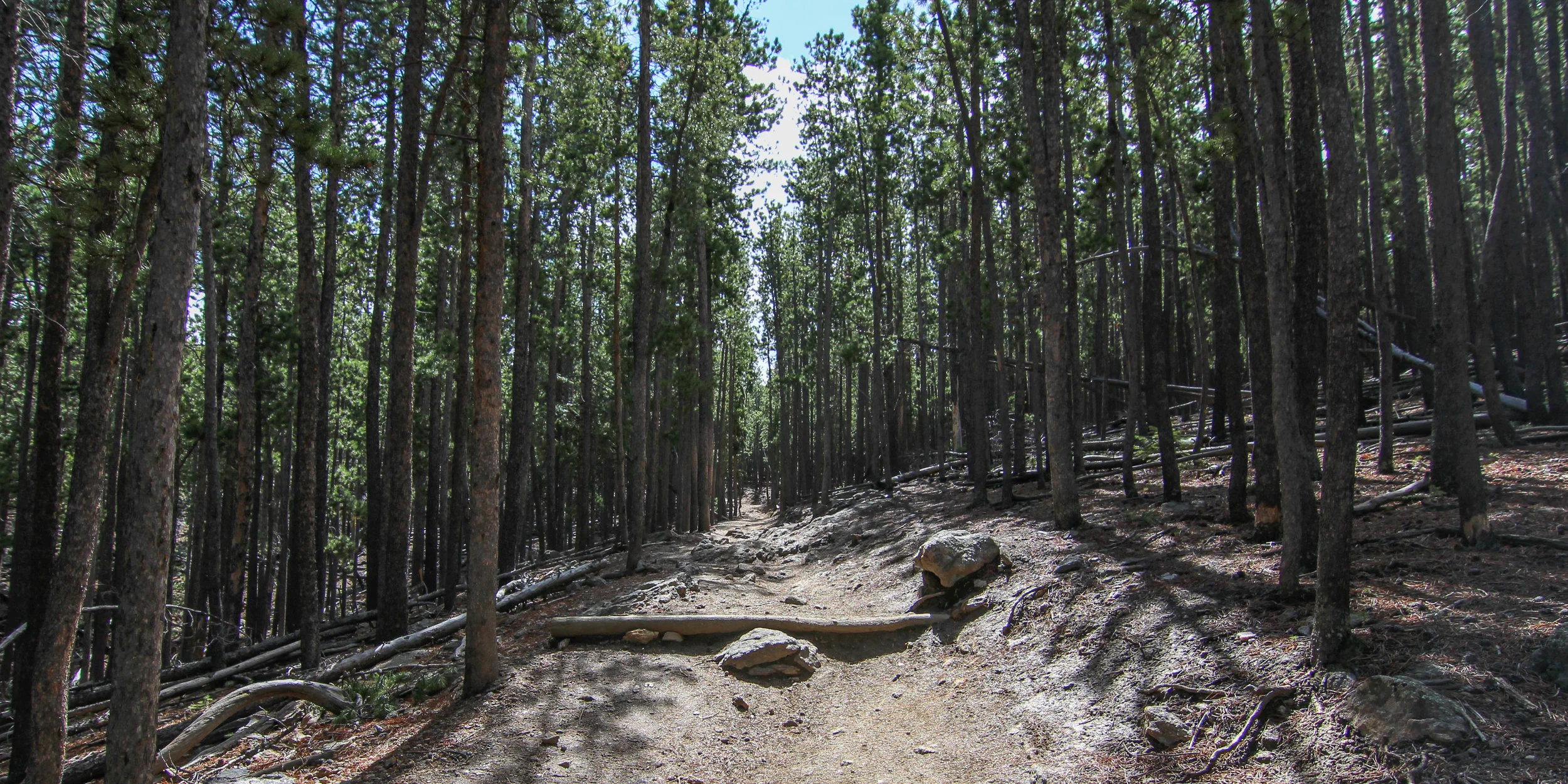
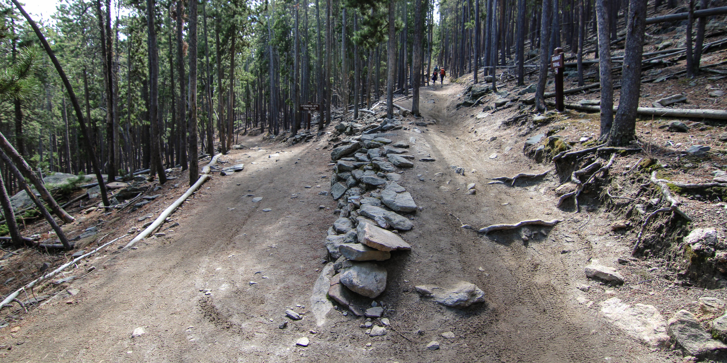
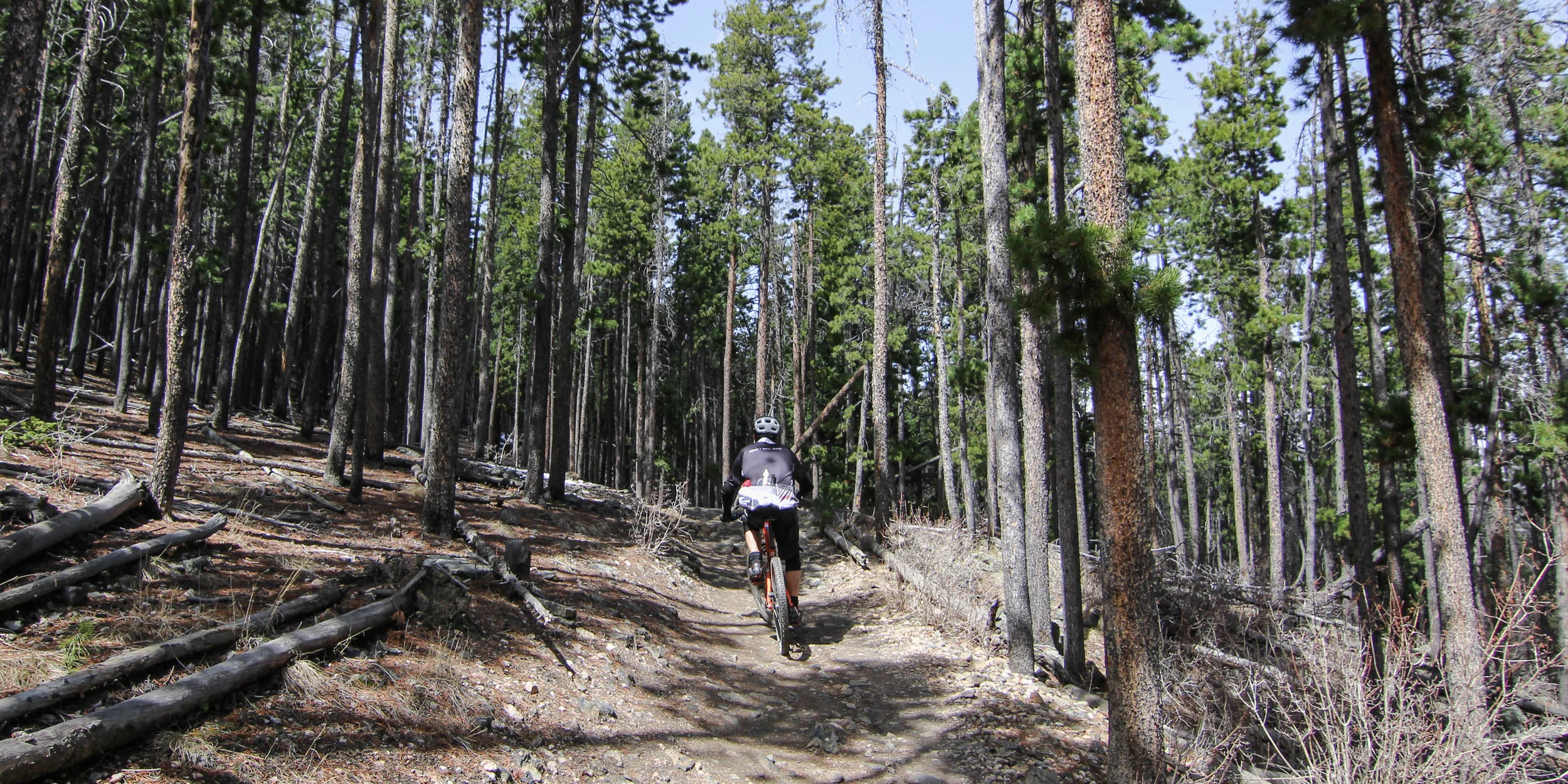
Follow the Wild Iris Loop until veering onto the Evergreen Mountain West Trail through long gradual incline switchbacks through dense timber and even more downed trees. The forest is occasionally thinned by the city to prevent tree growth competition and decrease wildfire hazard which also creates a much more open forest.
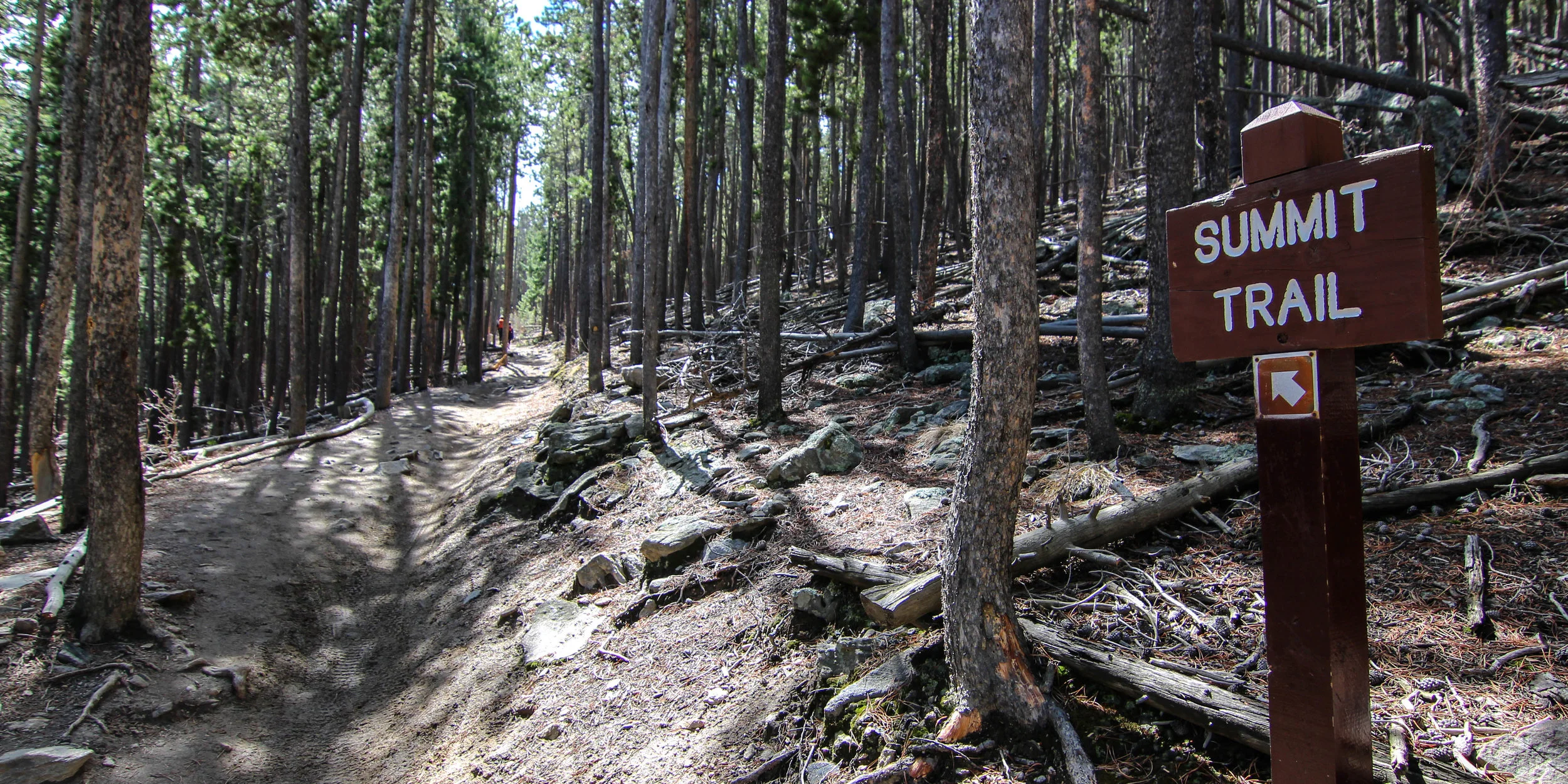
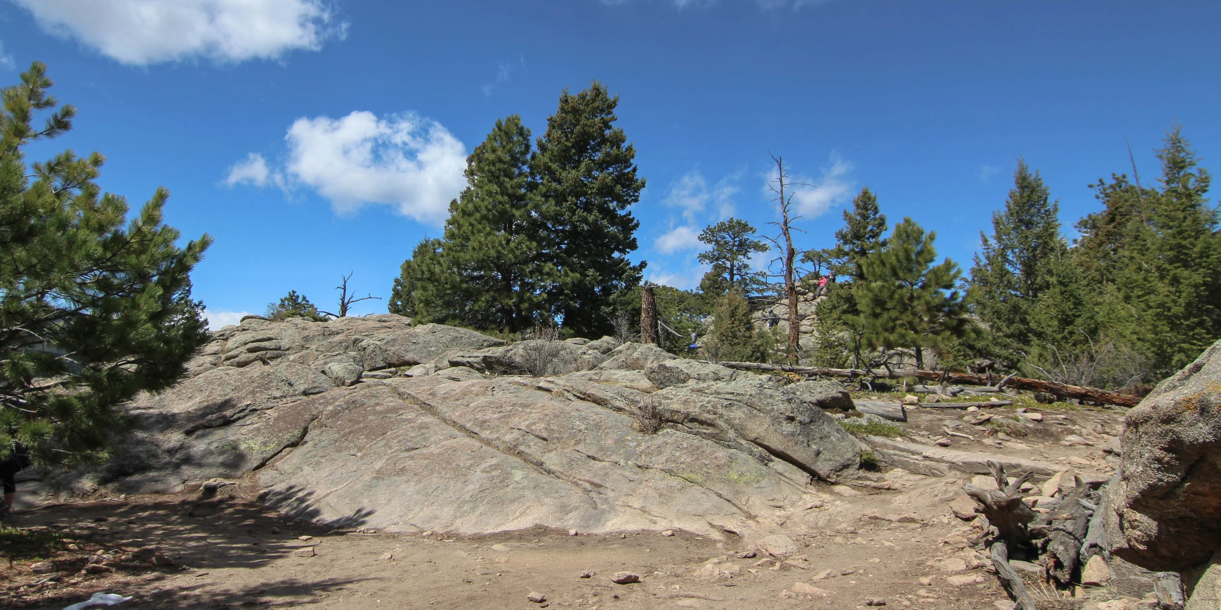
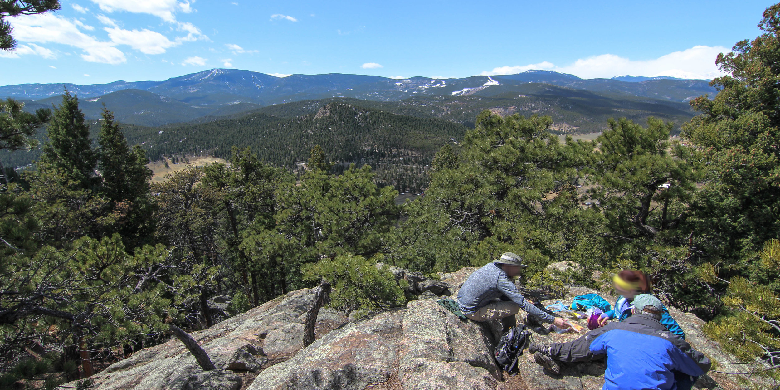
You will soon run into the fork that leads up Evergreen Mountain via Summit Trail. This brings you up to the loop around the summit and the parks highest point of 8,527 feet. Take a break and enjoy the open views of Evergreen and even Mount Evans to the west. Feel free to take the 0.1 miles out-and-back to the Scenic View area also for a different viewpoint looking northwest.
After the summit, it’s all downhill from there. Just under 3.5 miles and you’re back at the parking lot after a nice moderate 7-mile hike throughout the entire park!
The Good:
Great views of park and mountains
Good mix of smooth and rocky trail
Covers most areas of the park including summit
Tons of connecting trails to make your own route
The Bad:
No running water available
Parking can be sparse in warmer months
Heavily trafficked in the summer with hikers and mountain bikers
The Links:
The GPS Tracks (.gpx file) -- Covers